
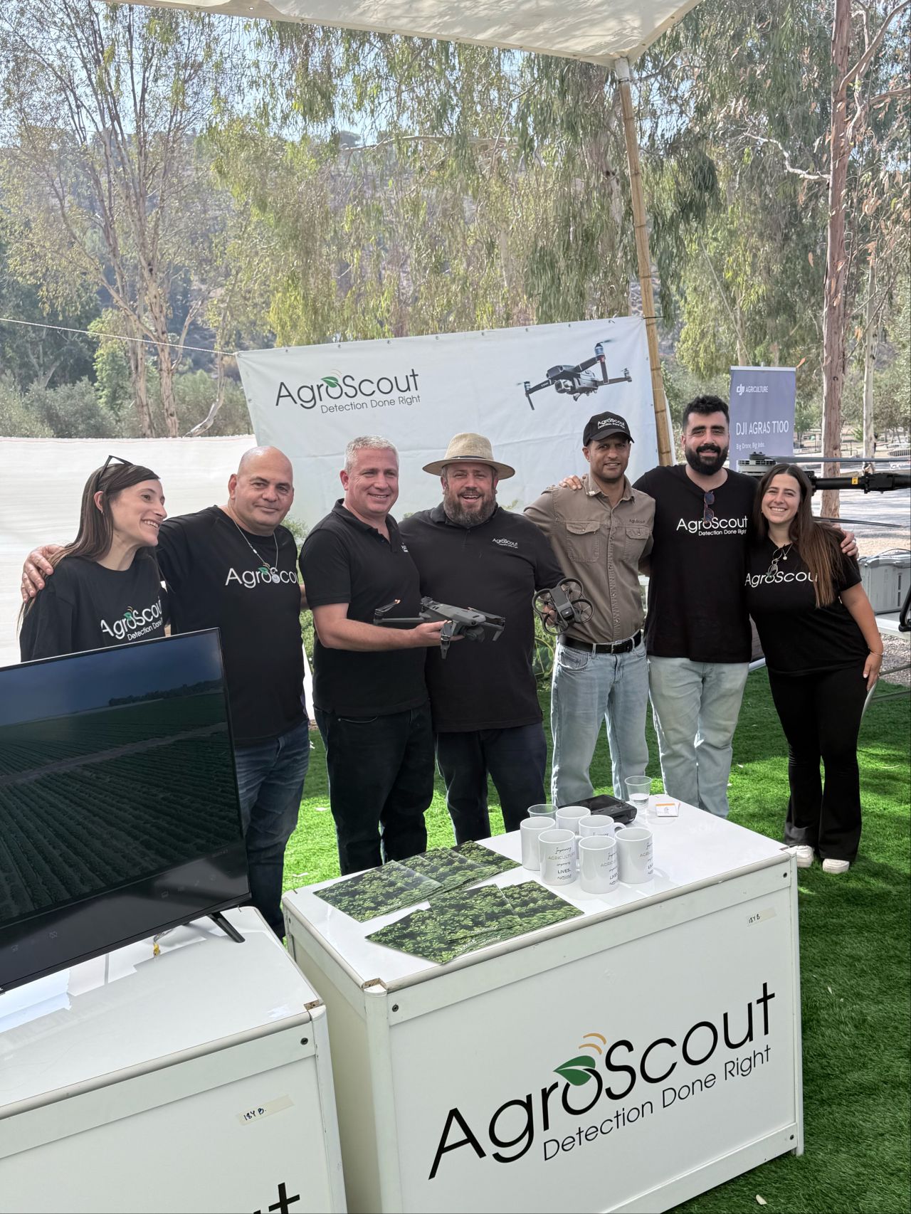
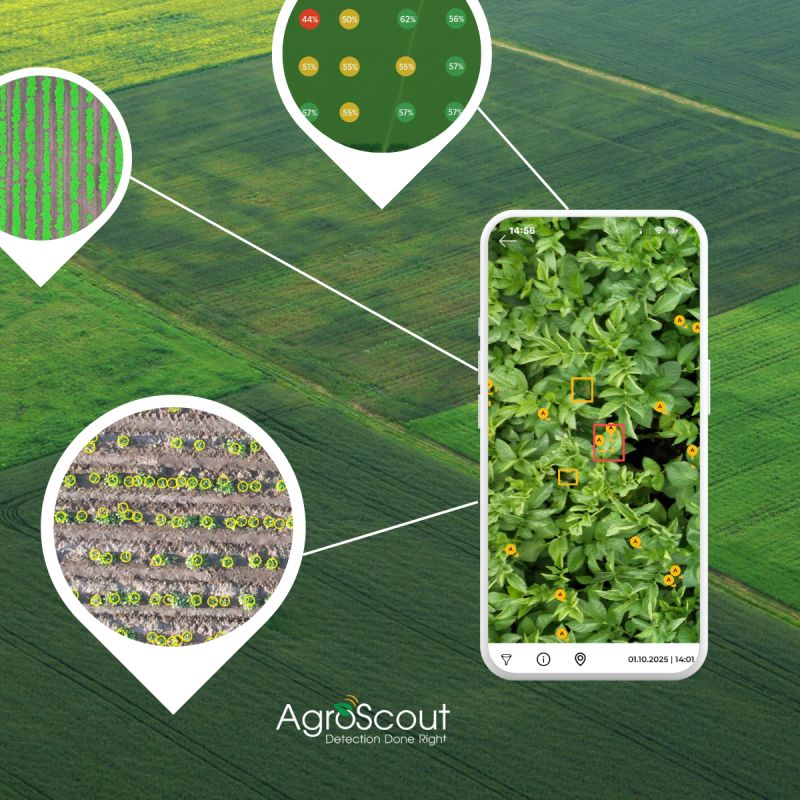
AgroScout is an agtech company that combines drone imagery, satellite analytics and a mobile app to help growers, agronomists and insurers detect pests, diseases and crop stress early across large farm operations. Their platform is built to find problems in a field before they spread, so agricultural teams can act on them quickly. CodigoDelSur was brought in to build the mobile application behind their drone-based field scanning workflow.
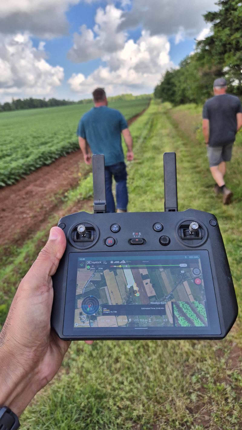
Every flight had to photograph an entire field at consistent 15 second intervals while holding a steady altitude over uneven, sloped terrain. That consistency is what makes a pest or disease pattern readable across a whole crop area instead of at isolated points. It ruled out DJI's standard waypoint mission mode, which cannot adapt to elevation changes in real time. The application had to fly the drone itself, correcting altitude continuously as the ground rose and fell beneath it.
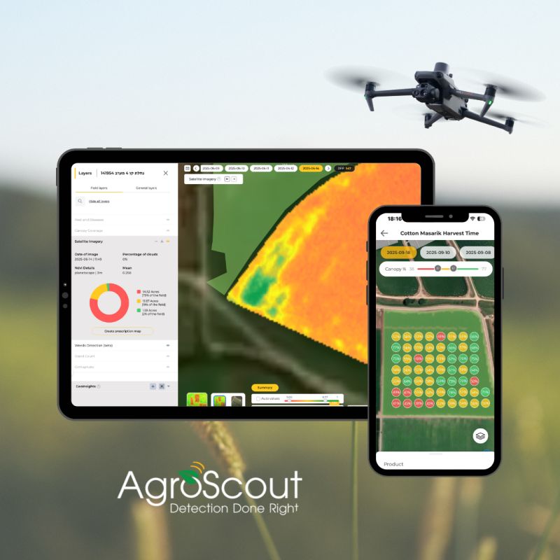
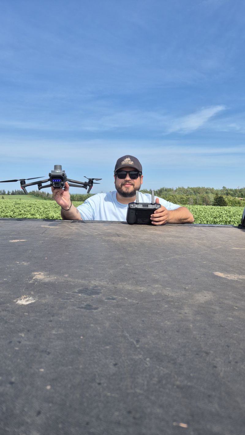
We built a custom flight control loop on top of DJI's SDK that bypassed mission planning entirely and took direct, low latency control of the aircraft. The app read altitude and position telemetry every 10 milliseconds and recalculated the flight as it went, hugging the terrain while triggering the camera every 15 seconds. Image processing stayed with AgroScout's own pipeline; our scope was capture. Built on the DJI Mobile SDK with virtual stick control, in Swift and Objective-C.
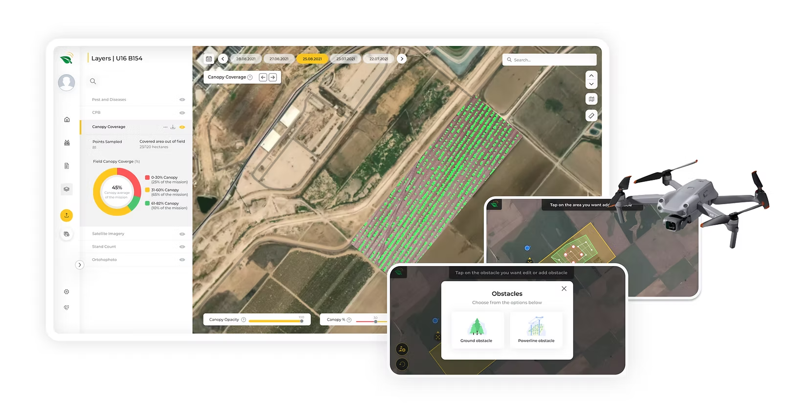
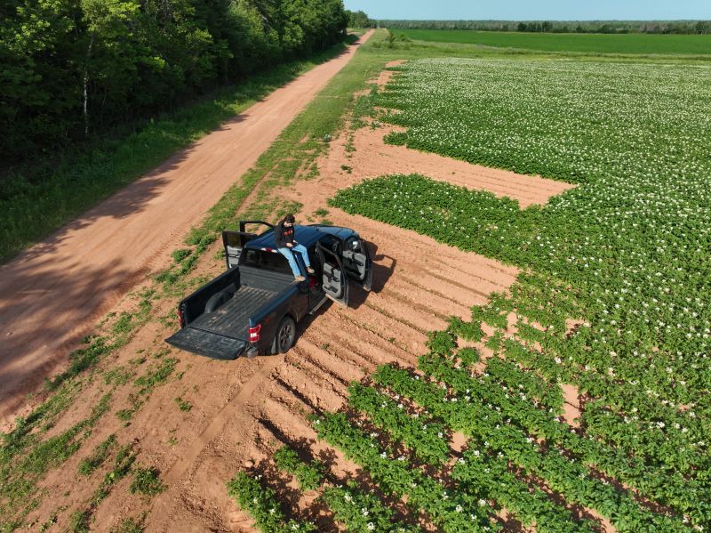
AgroScout's teams could scan complete fields rather than sampled points, with consistent image spacing and altitude even over irregular terrain, so their agronomic analysis ran on full coverage data instead of gaps between waypoints. The virtual stick approach became the technical foundation for terrain-aware aerial scouting, in exactly the conditions where standard mission-based flight falls short.