

DroneDeploy is a drone mapping and reality capture platform for construction, agriculture, energy and surveying. CodigoDelSur built and maintained its iOS and Android flight apps for three years, from 2016 to 2018. The platform has since grown to more than 3 million jobsites across over 180 countries, and in July 2026 Procore announced an agreement to acquire DroneDeploy for approximately $845 million in cash.

Commercial drone operators are not developers. Flight path generation, airspace and hardware validation and image capture at the right altitude had to sit behind an interface a site foreman can drive on a tablet, outdoors, with gloves on. That meant talking directly to DJI hardware from a phone, holding up on unreliable connectivity in the field, and producing capture data clean enough to be used months later as evidence for compliance and insurance.
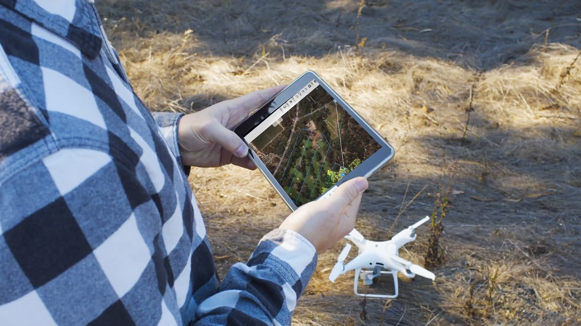
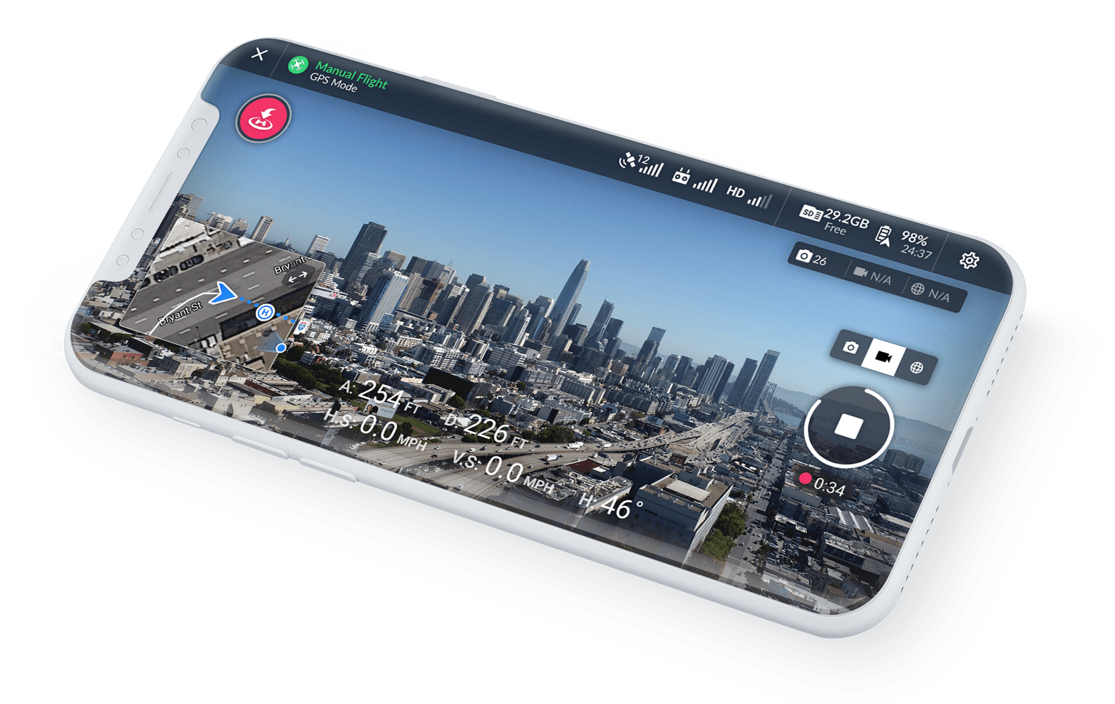
CodigoDelSur worked across the iOS and Android apps: the planning interface where an operator draws an area and the app generates the flight path, the pre-flight and in-flight checks on aircraft, battery, storage and airspace, automated flight execution through the DJI SDK, in-app exploration of map data, and the flight logs customers export. Built natively, because SDK-level drone control leaves little room for an abstraction. Stack: Swift, Objective-C, DJI SDK, iOS, Android.
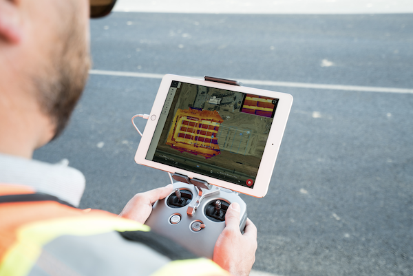
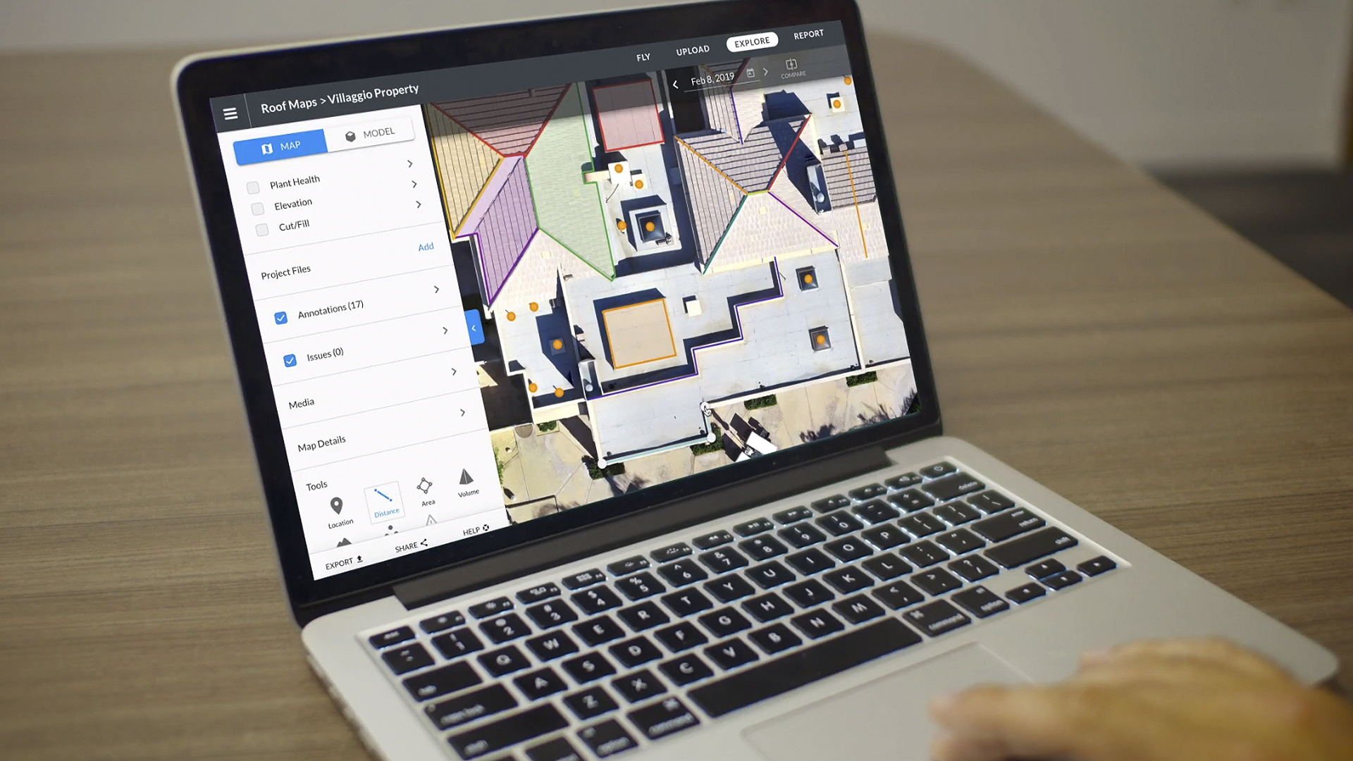
The apps are used on more than 3 million jobsites across over 180 countries, on a platform that has captured roughly 20 trillion square feet of visual data. Standard mapping missions run with no manual piloting: the operator draws an area, and the app plans and flies it. Flight logs come out structured for compliance, insurance and fleet maintenance rather than as raw telemetry.